Advenser specializes in transforming real-world data into precise 3D digital representations for architects, engineers, contractors, and facility owners. With a decade of global experience, advanced technology, and a multidisciplinary team, we deliver verified, constructible, and coordination-ready BIM models that reduce rework, enhance collaboration, and streamline decision-making from design to operations. Advenser uses 3D laser scanning technology, precise point cloud processing, and BIM modeling expertise to create reliable as-built documentation and improve project coordination.


Our Core Services
We provide a complete range of 3D scanning and BIM modeling solutions that convert physical environments into precise, data-driven digital models. From on-site laser scanning to BIM and mesh conversion, our services deliver clarity, constructability, and confidence at every step.

3D Laser Scanning Services
Our high-precision laser scanning workflows capture real-world geometry using advanced scanners. Each dataset is georeferenced, registered, and optimized for seamless integration into Revit or CAD platforms.
Deliverables:
- Registered and cleaned point cloud data (RCP, RCS, E57, PTS, LAS)
- Deviation reports comparing design vs. as-built conditions
- Scan alignment and registration documentation.
- 360° panoramic scan images and site photospheres
- Ready-to-model point cloud datasets for BIM or CAD
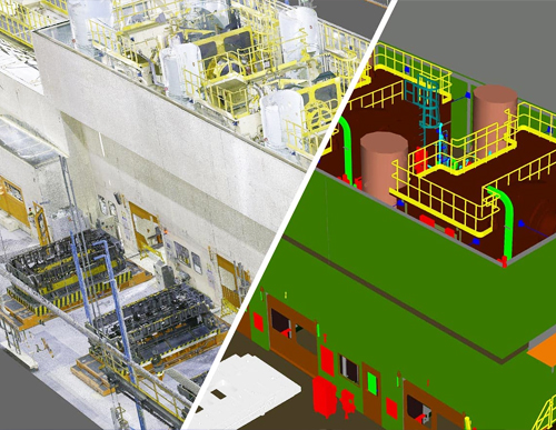
Point Cloud to BIM Modeling
We convert registered point clouds into intelligent, parametric BIM models that accurately replicate existing site conditions. Our team handles architectural, structural, and MEP modeling up to LOD 500, delivering coordination-ready models that align with global standards.
Deliverables:
- Revit BIM models for architecture, structure, and MEP
- As-built BIM models for operations, maintenance, and lifecycle management
- Annotated 2D CAD drawings (DWG, DXF, PDF formats)
- Coordination-ready models (RVT, IFC, NWC formats)
- QA/QC validation and deviation reports

Point Cloud to Mesh Services
Our Point Cloud to Mesh solutions convert dense scan data into watertight, polygonal 3D meshes ideal for visualization, simulation, and digital twin workflows. Using Geomagic, ReCap, and Blender, we produce optimized meshes compatible with engineering, design, and VR platforms.
Deliverables:
- High-resolution polygonal mesh models (OBJ, STL, FBX formats)
- Surface-optimized mesh ready for visualization or analysis
- Textured 3D models for VR/AR and presentation use
- Mesh-to-CAD conversions for fabrication or reverse engineering
- Digital twin-ready mesh data for asset monitoring

Inputs Expected from Client
To ensure seamless project execution and modeling accuracy, we request the following inputs:
- Laser-scanned data of the building or structure (Point Cloud in RCP, RCS, E57, PTS, or LAS formats)
- Site photographs or photospheres for visual reference
- Existing 2D drawings or design models (if available)
- Project scope details and required LOD specifications
- Preferred deliverable format and naming conventions (as per BEP)

Deliverables from Scan to BIM
Our deliverables are tailored to meet project-specific requirements and industry standards, ensuring full usability for design, construction, or facility management.
- 3D BIM models (Architectural, Structural, and MEP) up to LOD 500
- As-built documentation and model-based reports
- 2D plan, section, and elevation drawings (DWG, DXF, PDF formats)
- Reflected ceiling and floor plans
- Coordination-ready Revit models and IFC deliverables
- Deviation analysis and QA/QC validation reports
- Point cloud registration and clean-up files (optional)
- Digital twin and FM integration-ready data sets
QUICK CONTACT
Our Scan to BIM Workflow
Site Capture
High-accuracy 3D laser scanning using Leica, FARO, or NavVis devices captures real-world geometry with millimeter precision, producing reliable point-cloud data.
Point Cloud Processing
High-accuracy 3D laser scanning using Leica, FARO, or NavVis devices captures real-world geometry with millimeter precision, producing reliable point-cloud data.
BIM Model Creation
The processed point cloud is converted into detailed Revit or ArchiCAD models, architectural, structural, and MEP at LOD 100–500.
Quality Validation
Models are cross-checked against scan data to ensure accuracy and full compliance with project standards.
Deliverables & Support
Final Revit, IFC, CAD, or Navisworks files are delivered with QA reports, followed by revision and FM support as required.
Sectors We Serve
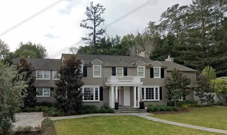
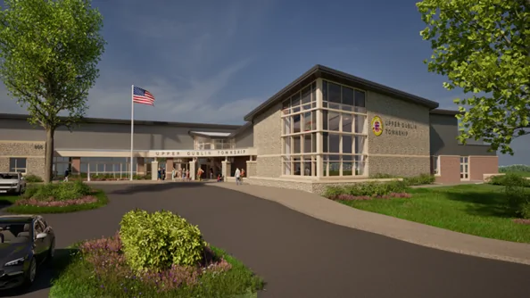
Residential
We deliver BIM services for housing projects, improving design accuracy, coordination, and timely execution.
Commercial
Our BIM support ensures efficient planning and delivery of offices, business parks, and commercial complexes.
Hospitality
We assist in designing hotels and resorts with BIM solutions focused on guest experience and operational efficiency.
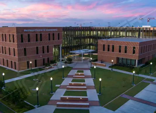
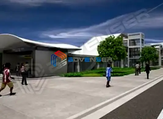
Institutional
We support educational and civic projects with BIM workflows that ensure compliance and long-term performance.

Healthcare
We offer BIM services for hospitals and clinics, enabling precise planning, MEP coordination, and code compliance.
Industrial
From factories to warehouses, we help industrial clients implement BIM for better design, safety, and scalability.

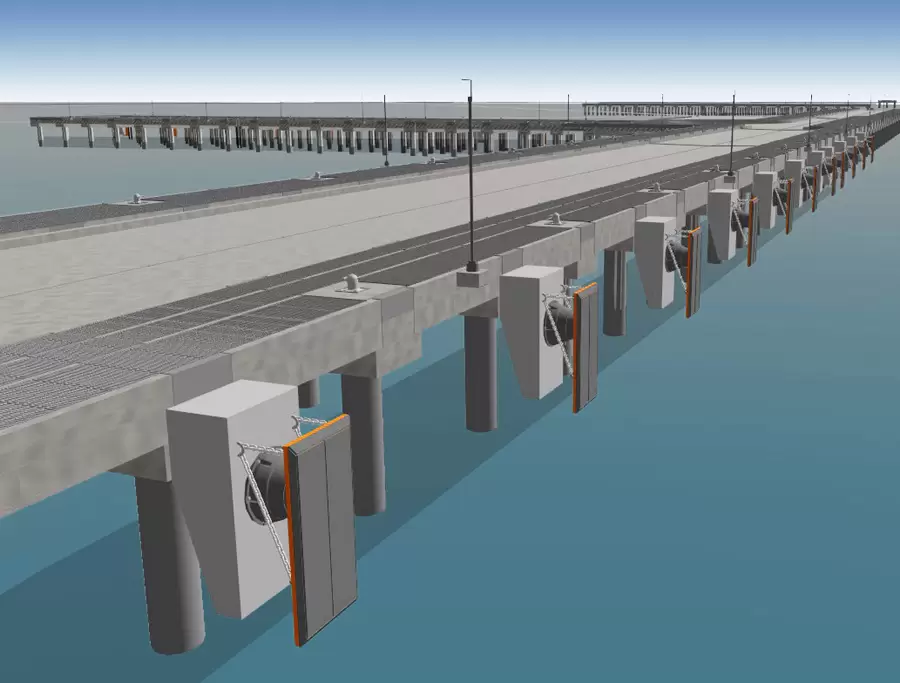
Infrastructure
We provide BIM solutions for roads, bridges, and utilities—enhancing project planning and asset management.
Transportation
Our BIM models support the design and construction of airports, railways, and metro systems with improved coordination.

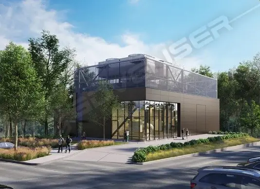
Utilities and Energy
We offer BIM for energy plants and utility systems, optimizing design, maintenance, and operational workflows.
Cultural and Recreational
We assist in developing museums, theatres, and parks with BIM solutions that preserve design and ensure functionality.
Defense and Security
Our BIM expertise aids in delivering secure, precise infrastructure for defense and surveillance projects.
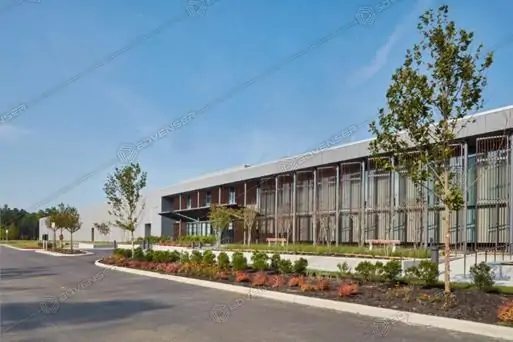
Data and Technology
We provide BIM support for data centers and tech facilities, ensuring accuracy and system integration.

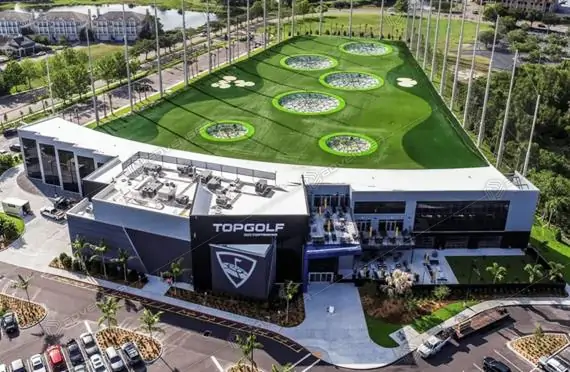
Retail and Entertainment
We help design functional, customer-friendly spaces for malls, cinemas, and entertainment venues using BIM.
Mining and Natural Resources
Our BIM services aid in planning and managing mining infrastructure for safety and operational efficiency.

Environmental and Sustainability
We integrate BIM with sustainability practices to support green building and environmental compliance.

Benefits of Scan to BIM
- Accurate capture of existing site conditions
- Enables seamless renovation, retrofit, and expansion planning
- Reduces design errors and field rework
- Enhances coordination and constructability analysis
- Provides reliable as-built documentation for facility management
- Supports digital twin and asset lifecycle integration
- Improves design accuracy and stakeholder collaboration
Frequently Asked Questions
Our Software Expertise